Семинар по Географической Информационной Системе (ГИС) организован UNISON GROUP
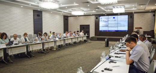
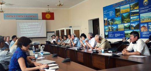
С 14 сентября по 16 сентября 2016 года в офисе UNISON GROUP прошел ознакомительный семинар по Географической Информационной Системе (ГИС).
Целью данного курса было создание потенциала в области обработки данных и информации в гражданском секторе Кыргызстана, так как ГИС может быть полезным дополнением практически любому инструментарию, применимому во многих секторах, от энергетики до экологии. ГИС инструменты, данные и услуги могут помочь сообществам в Кыргызстане с управлением рисками стихийных бедствий, планирования и адаптации к климату.
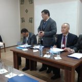
Инструктором данного семинара выступал Брендан Мак Гилл – стажер UNISON GROUP, студент магистратуры Управления природной деятельностью Университета Альберт-Людвигс Фрайбург Германия у которого более чем 2-летний опыт работы в качестве ГИС аналитика по бассейновому управлению, экологических и строительных секторов в Калифорнии США. Брендан Мак Гилл поделился со своим личным опытом и навыками в Географической Информационной Системе.
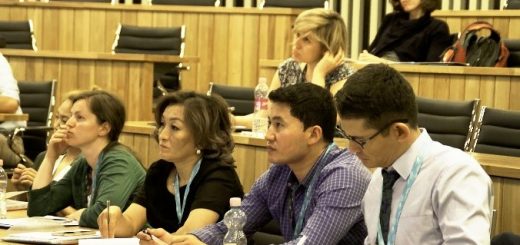
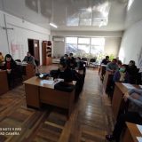
В 3-дневном семинаре по концепции ГИС и программному обеспечению для составления карт с открытым исходным кодом приняли участие специалисты отдела реализации проекта «УНВР Ф-1»: координатор по ИСВ, ГИС и CAD специалисты, национальный специалист по картированию и ГИС, а также и специалисты отдела технической политики и инвестиции Департамента водного хозяйства и мелиорации и заведующая лабораторией информационно-картографических систем и баз данных.
Данный курс спроектирован в качестве первого ознакомления с ГИС, в том числе концептуальная основа и практический семинар.
По окончанию данного курса участники семинара приобрели навыки в:
- понимании фундаментальных концепций ГИС, таких данных как проекции, системы координат и терминология;
- понимании что может ГИС сделать для них и каким образом оно может улучшить их область работ;
- использовании и применении бесплатных ГИС приложений для создания базовых карт, ответить на пространственные вопросы, провести измерения;
- доступе к ресурсам для эффективного самообучения.
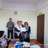
По завершению семинара, посвященного Географической Информационной Системе (ГИС) нашим специалистам были выданы сертификаты об успешном завершении данного курса.